
I wonder if these holloways coincide with any parish boundary.
In Milton Abbas our parish boundaries often feature a central pathway flanked by a double bank and ditch, each bank topped with formerly coppiced trees. This photo was taken at Gallows Corner, a spot where five tracks meet and two of them are part of the Parish boundary.
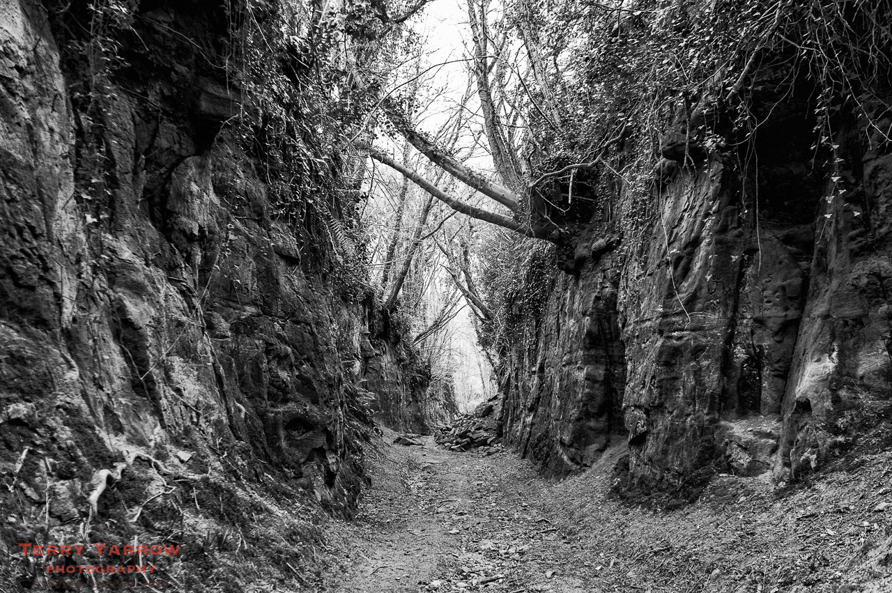
There are thousands of ancient paths criss crossing Dorset’s wonderful countryside but none more fascinating than these labyrinthine paths like the one in the picture above which goes by the interesting name of Hell Lane! These are known as Holloways, although they do have other names such as shutes, bostels or grundles depending on the area they are in, and they are only seen in areas where the bedrock is soft – West Dorset is predominantly sandstone and therefore has many Holloways.
So what are Holloways?
Well the name Holloway comes from the anglo-saxon word which literally means ‘sunken road’, and they date from at least 300 years ago, many going back as far as the iron age. They started life as either drove trails used to move cattle and other animals from farms to markets, routes from inland to the sea ports, pilgrimage routes, or simply boundary ditches. I am not sure…
View original post 1,280 more words
